Tag Archives: Backcountryskiing

Skiing in The Gore Range is not that far

We get a charge out of putting it all together. Isn’t it the process, the mystery in the journey that engages us? –
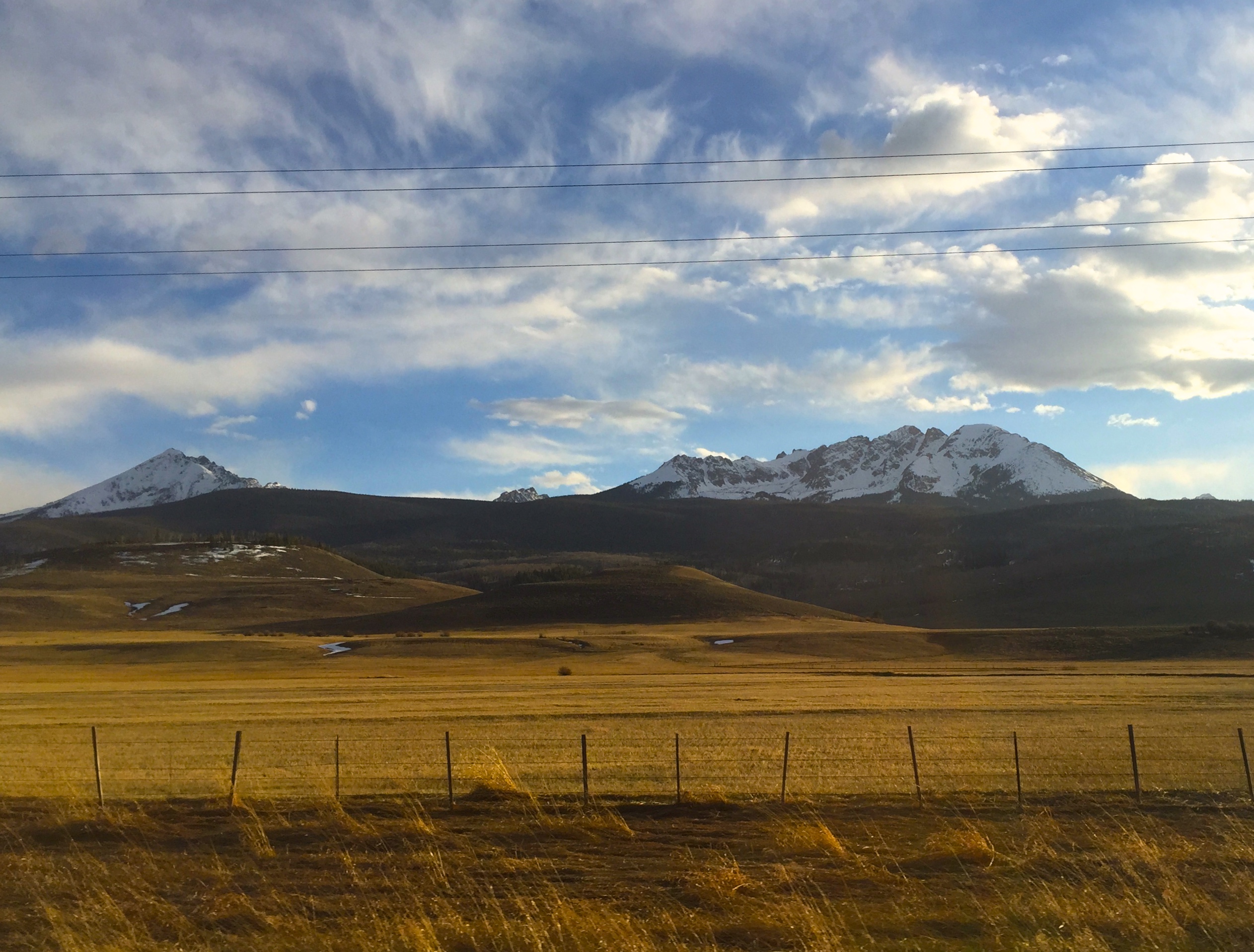
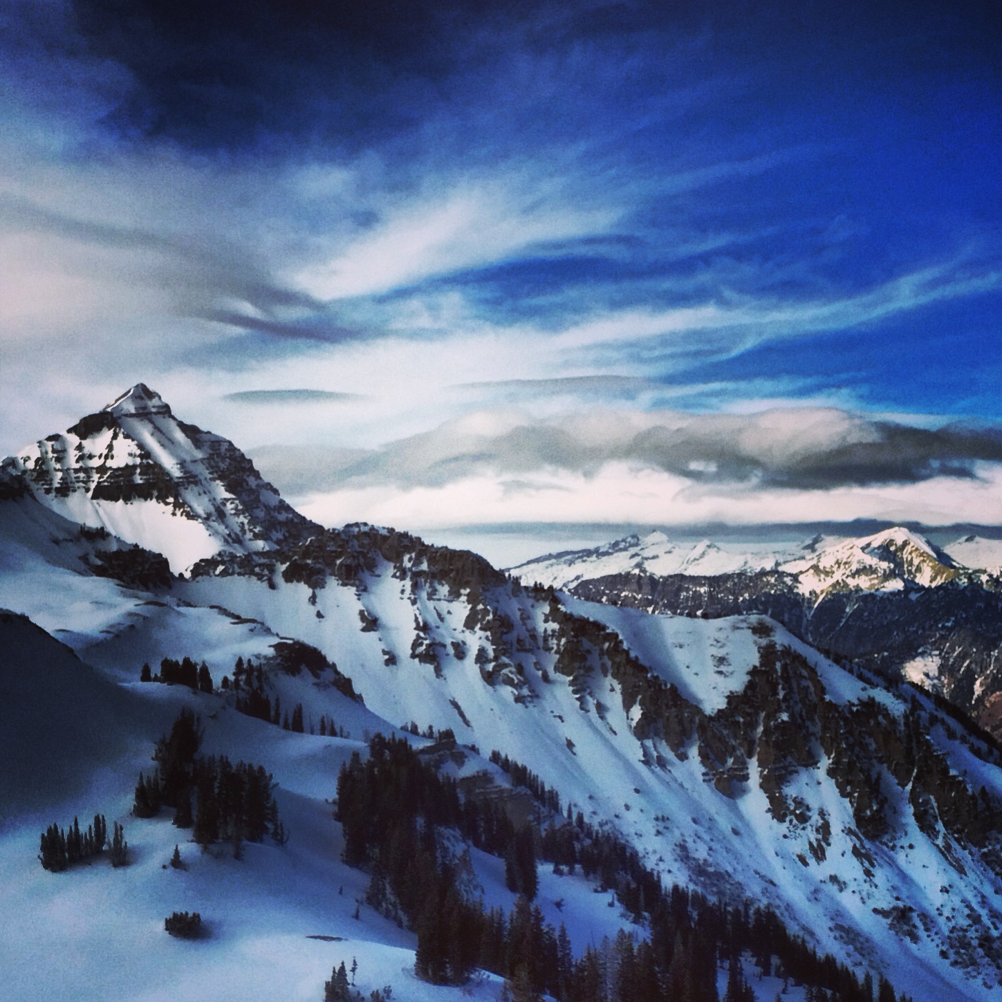
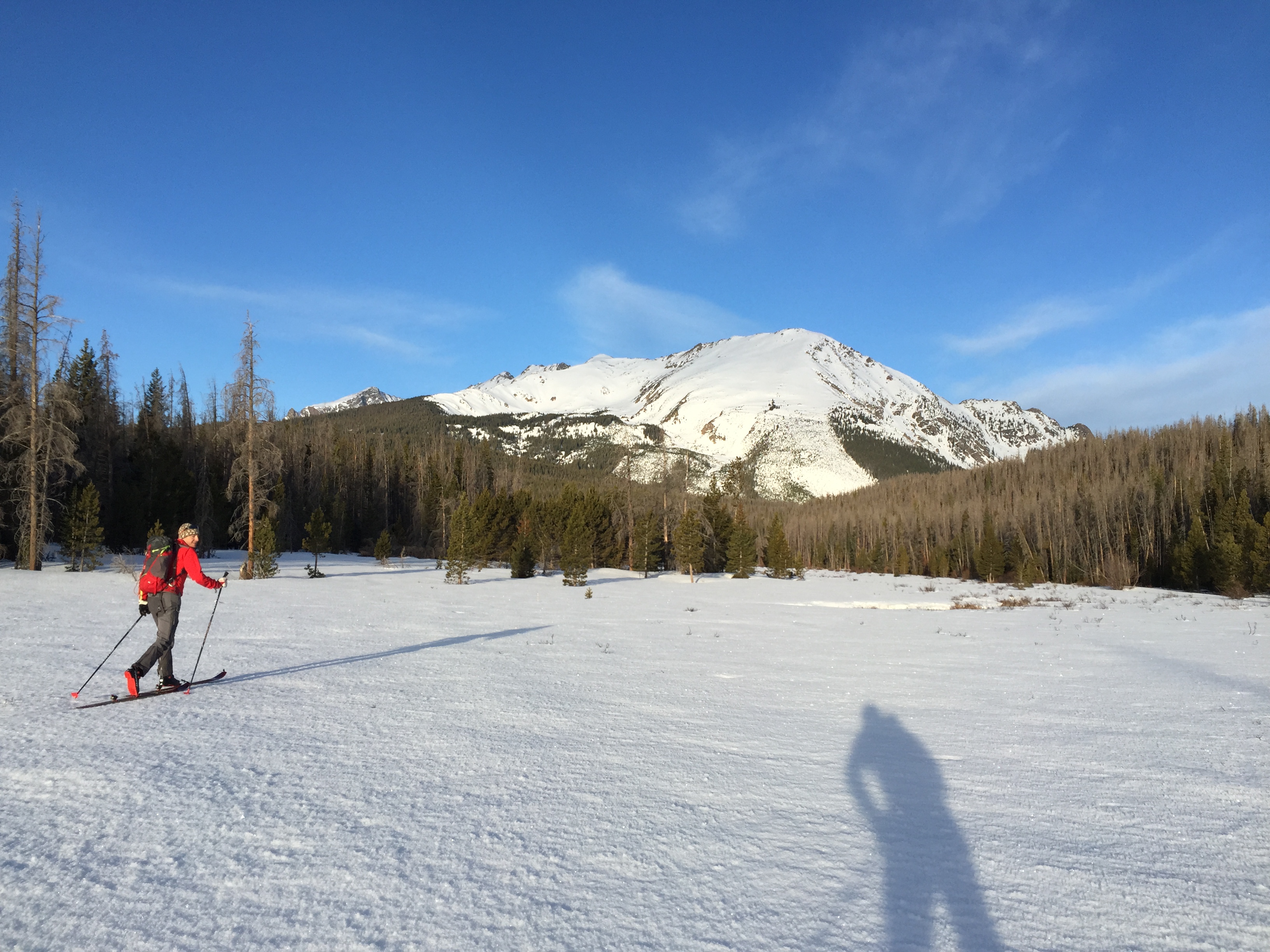
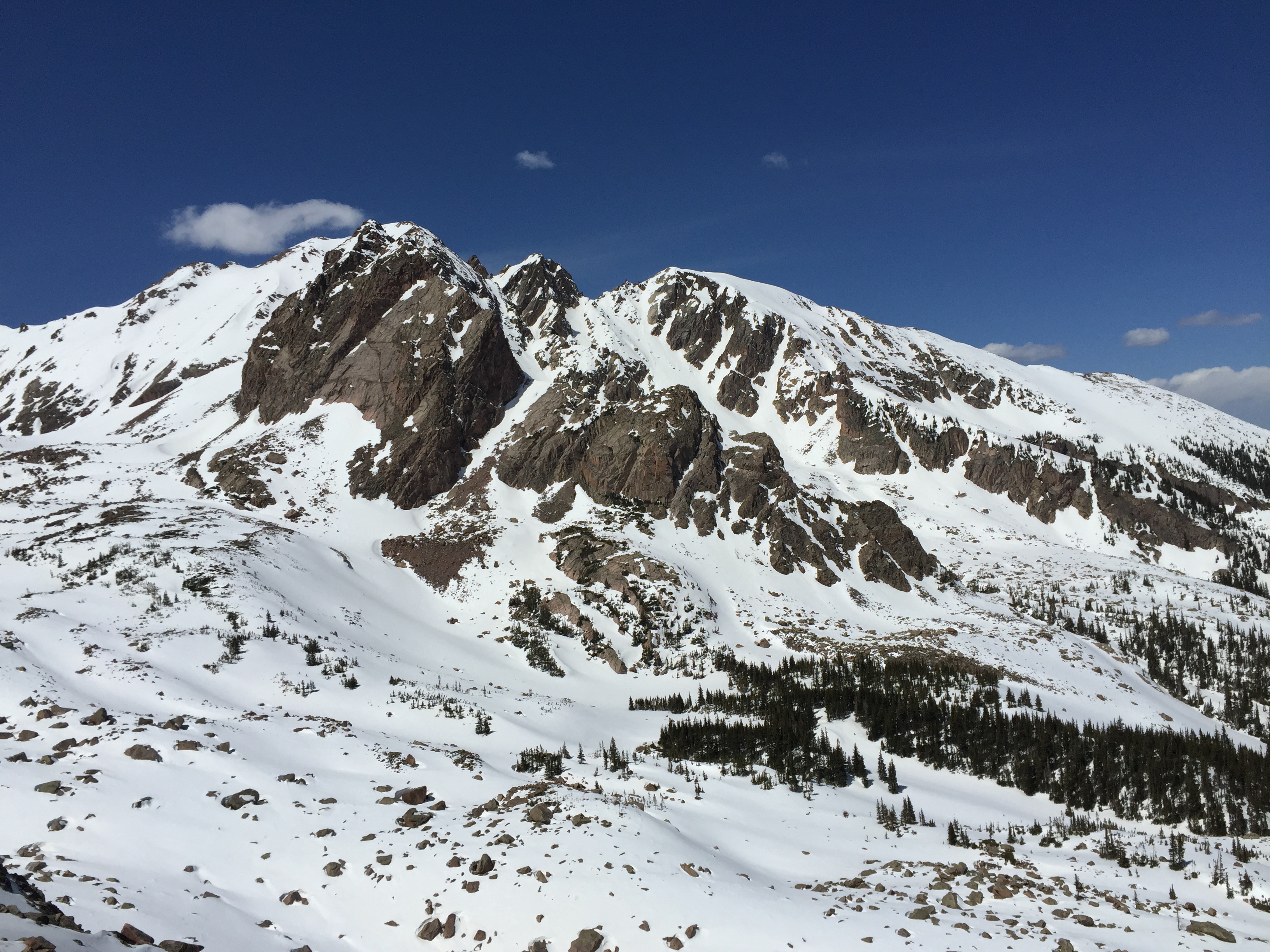
The NE face of Bloodshaw and the NW Couloir of Peak O seemed so far from access points.  The Gore mountain Range is so far away right?
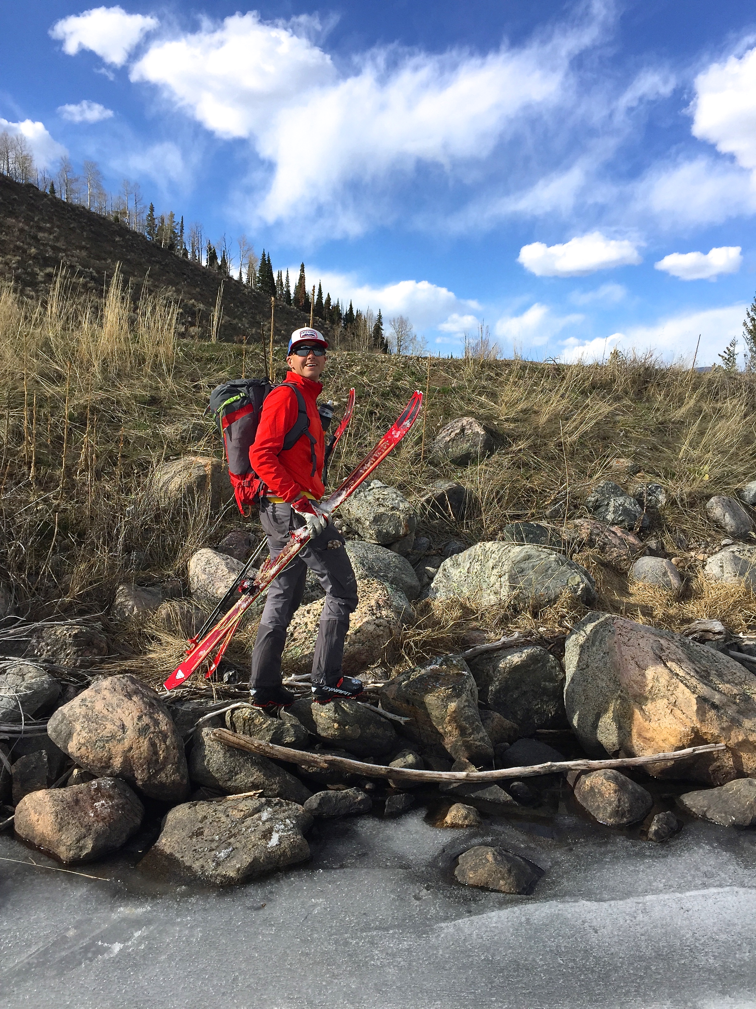
I was first inspired to ski these two lines a couple years ago while driving by the Gore Mountains. You know, rubbernecking with an eye for the biggest and best ski lines you can spy. During the pre trip route finding research we found no record of prior descents. Perfect. (surely they’ve been skied, how could the biggest faces in the range be overlooked) When there is no trail or skin track to the summit, no info available on how to navigate the complex face, and no complete photos to show if the line even goes, you know your in for a memorable day. –
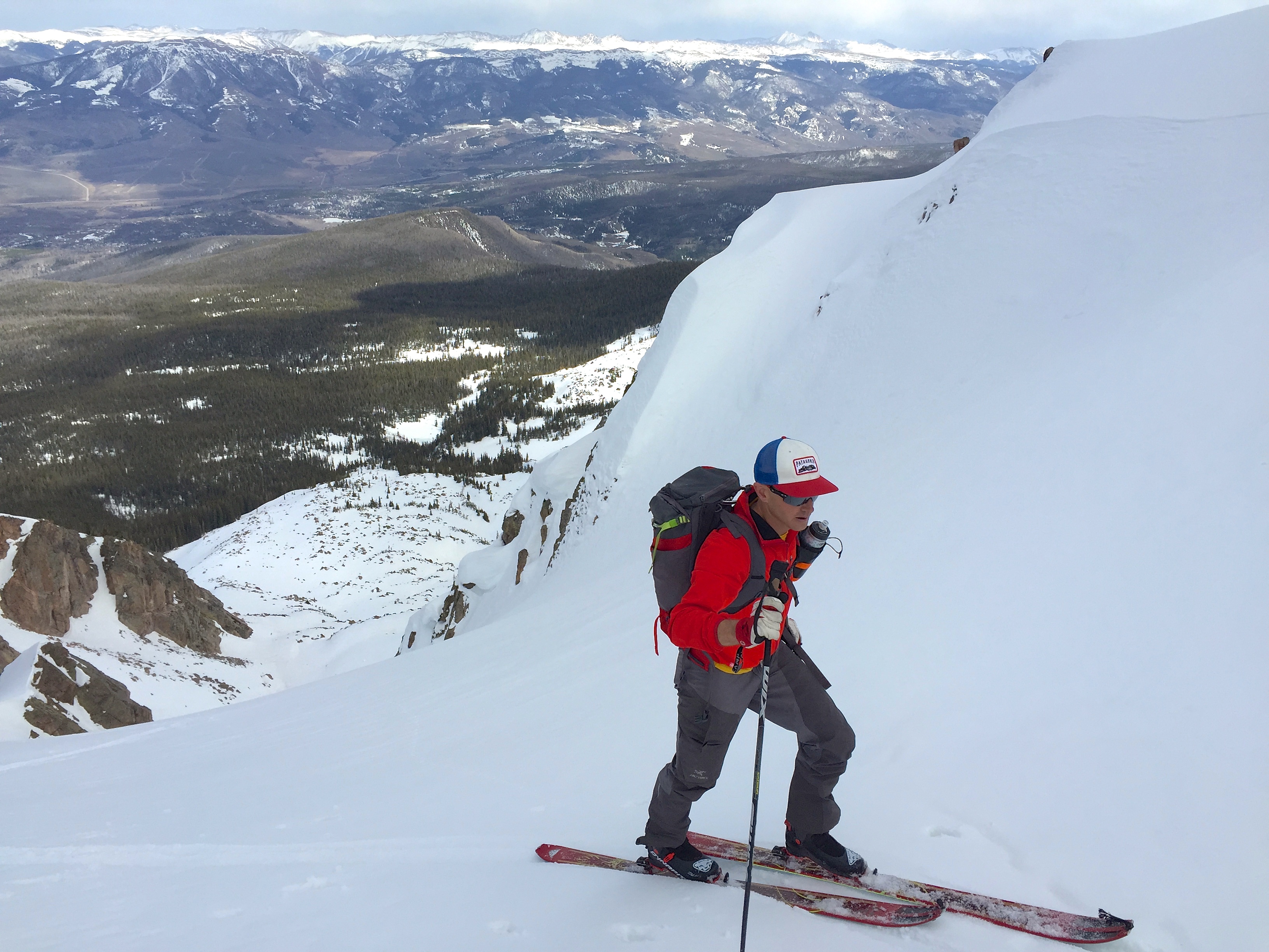
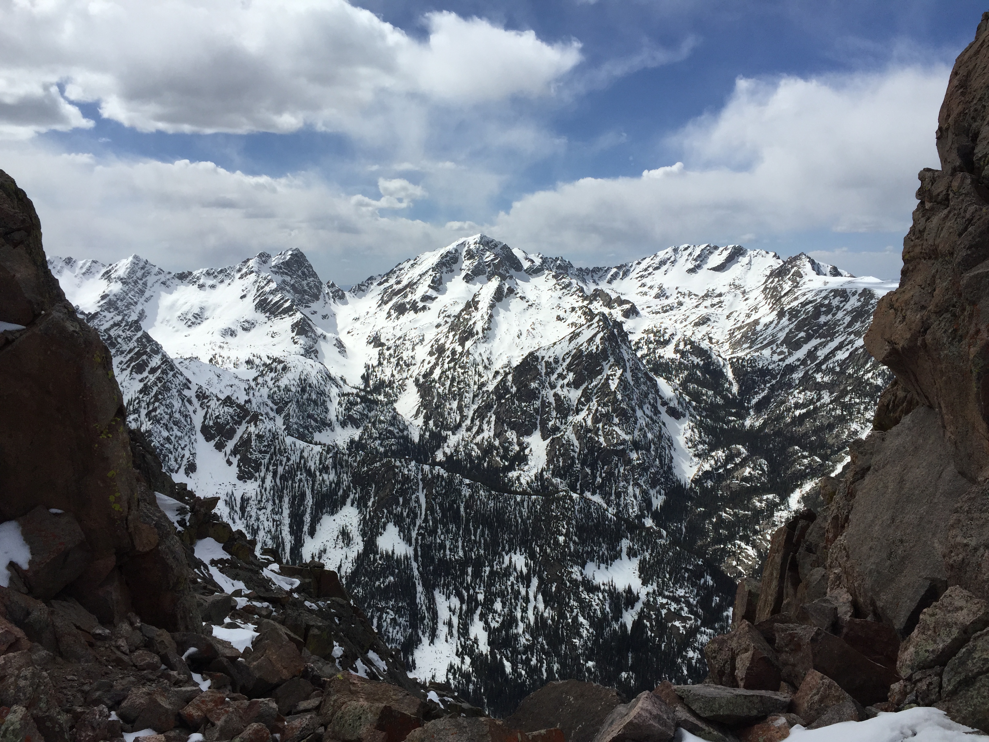
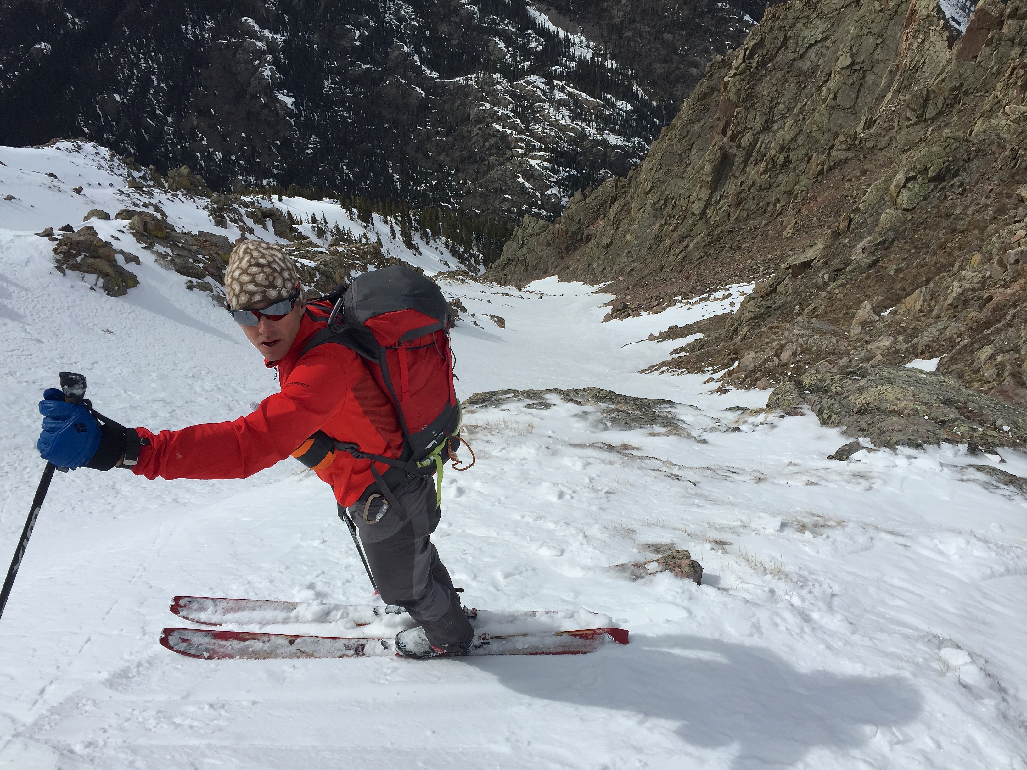
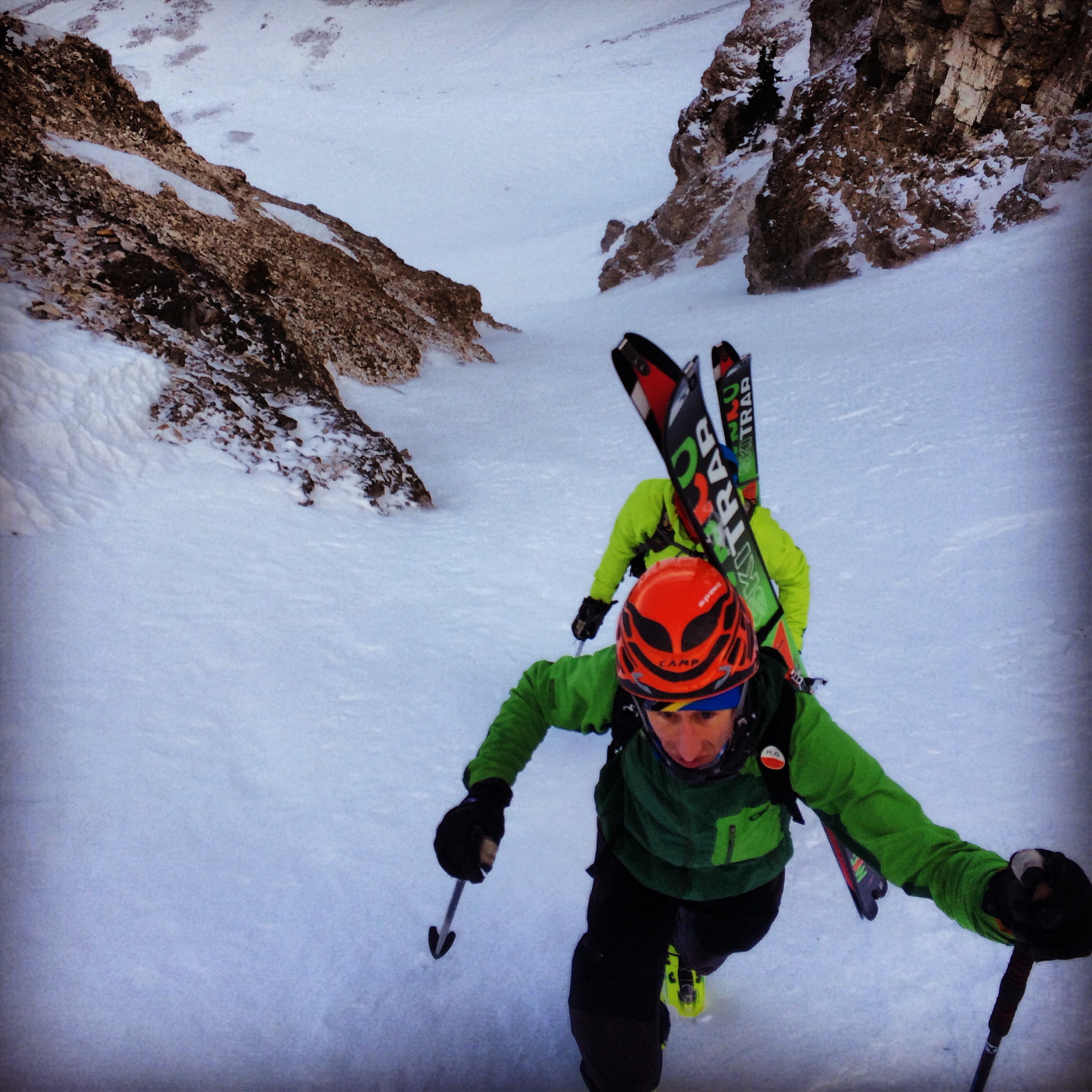
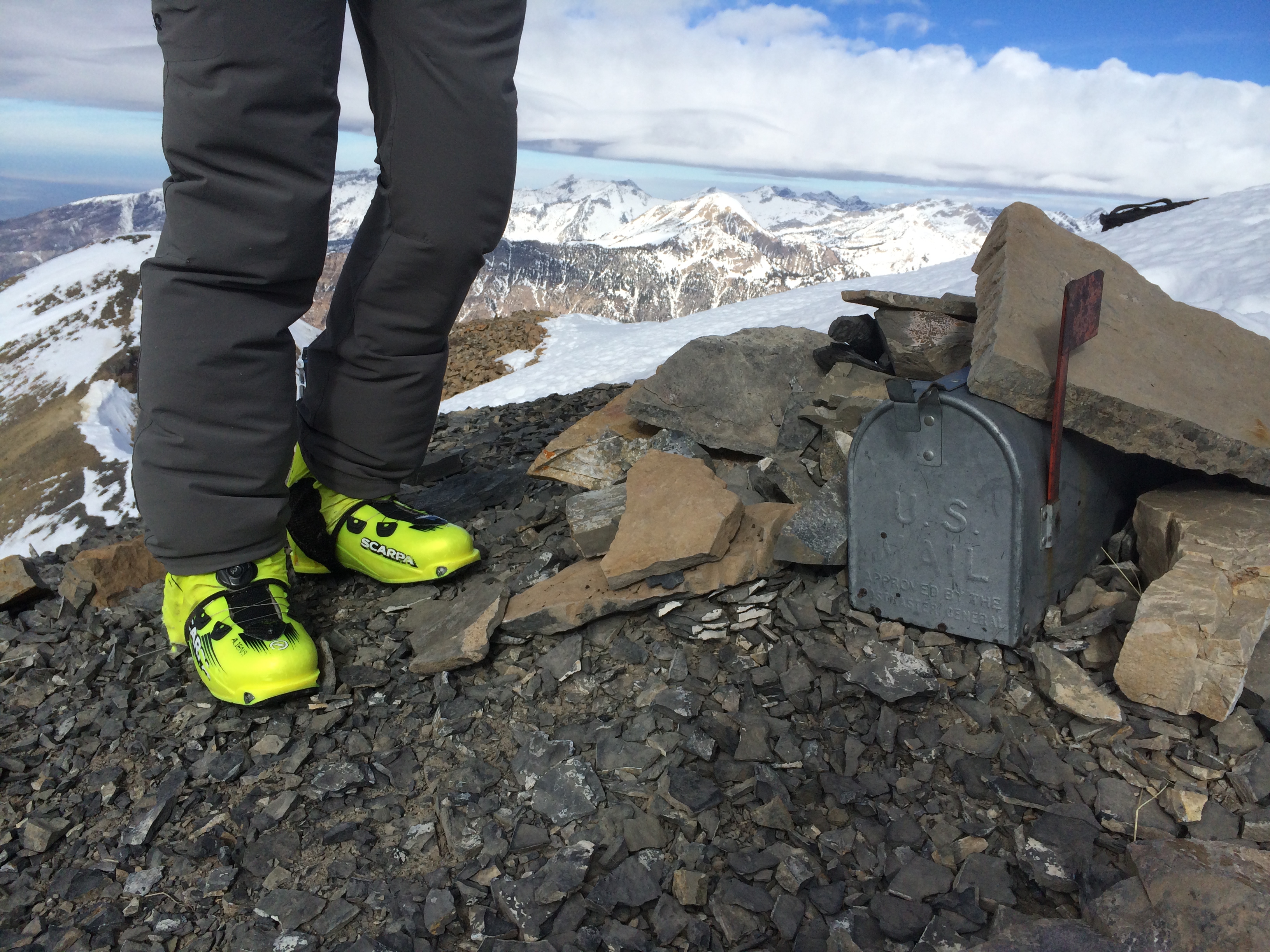
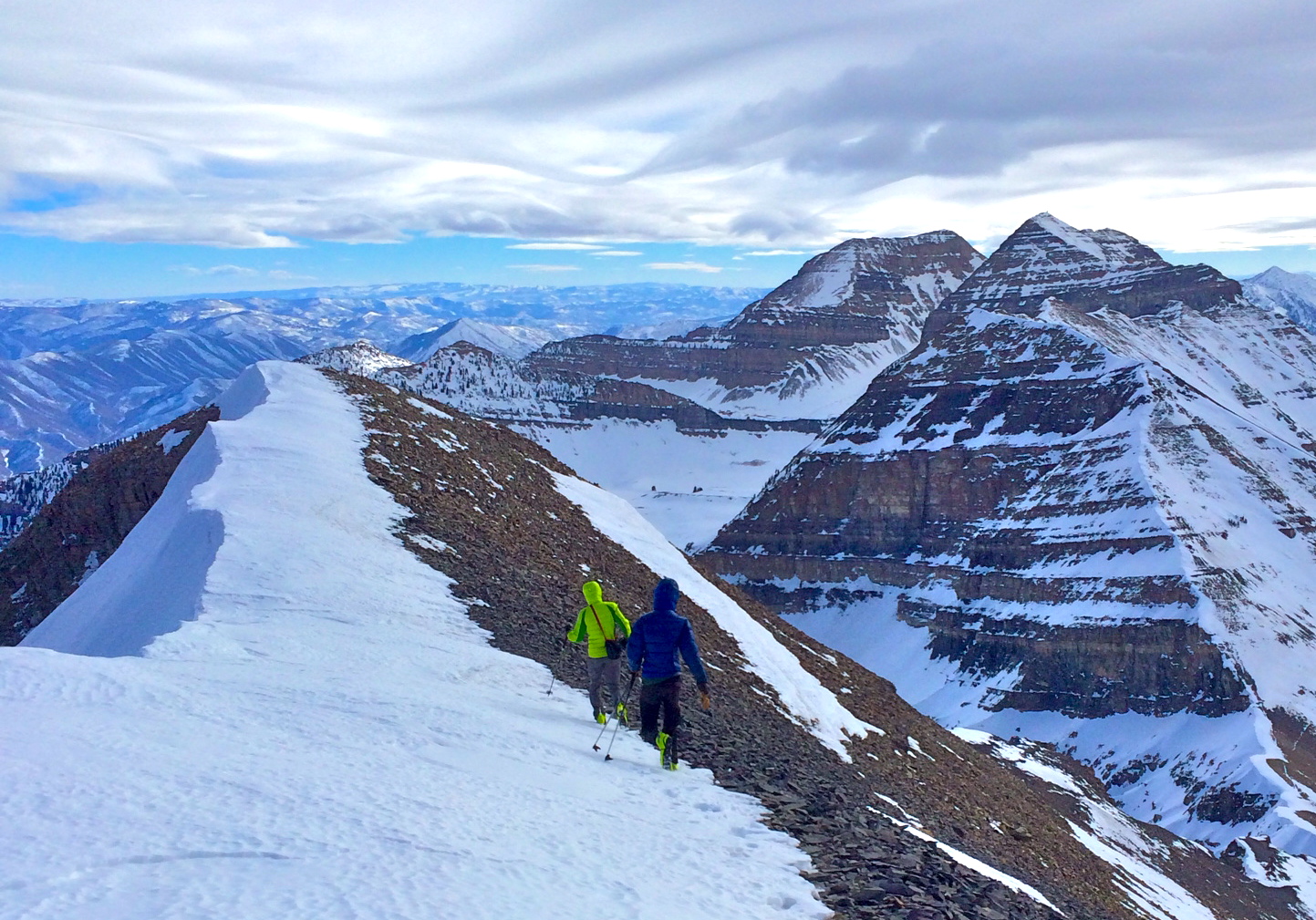
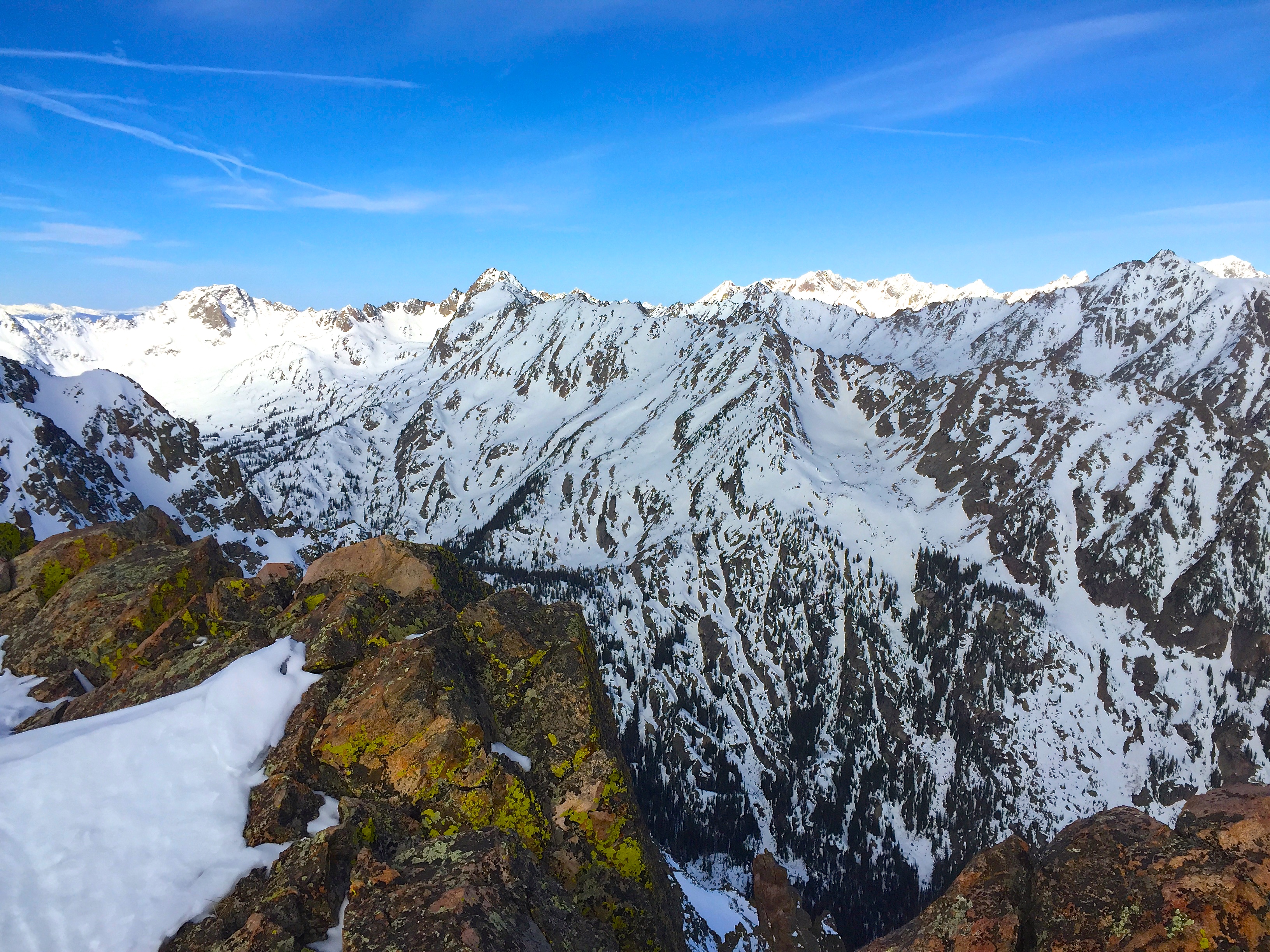
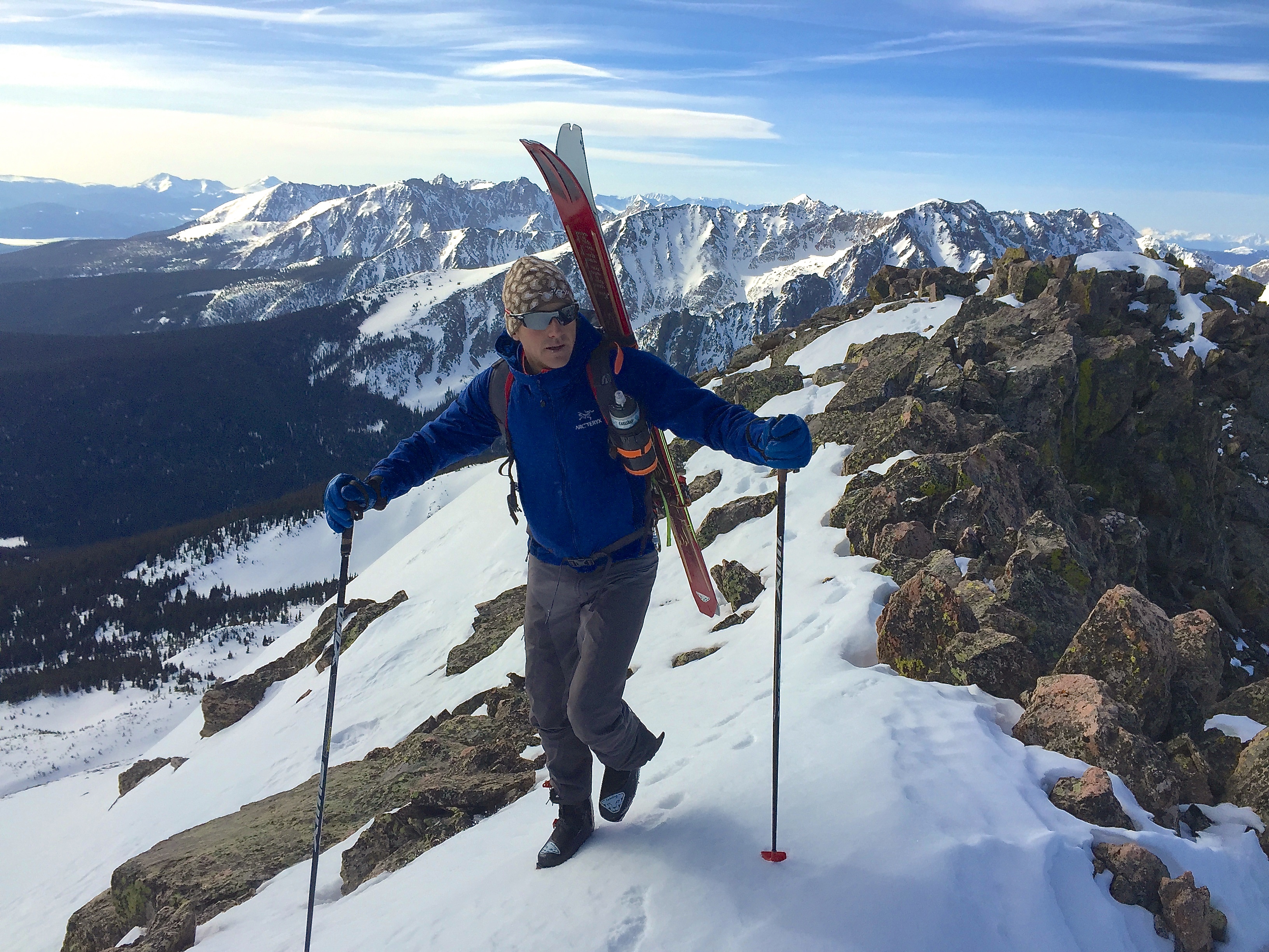
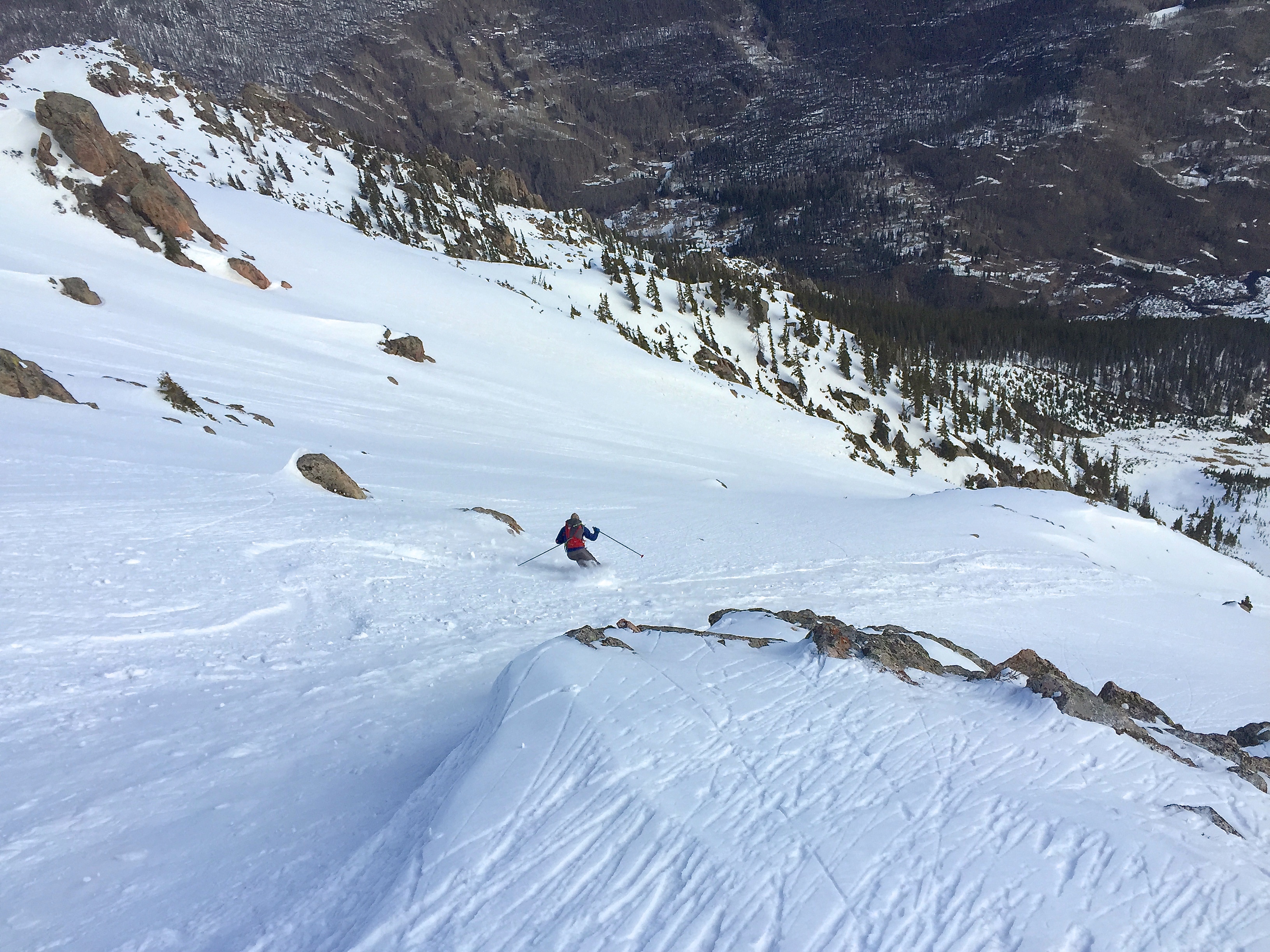
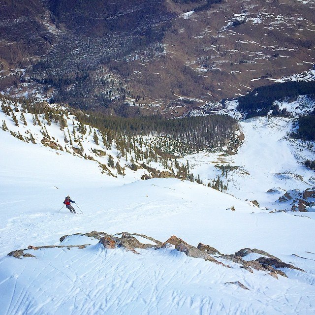
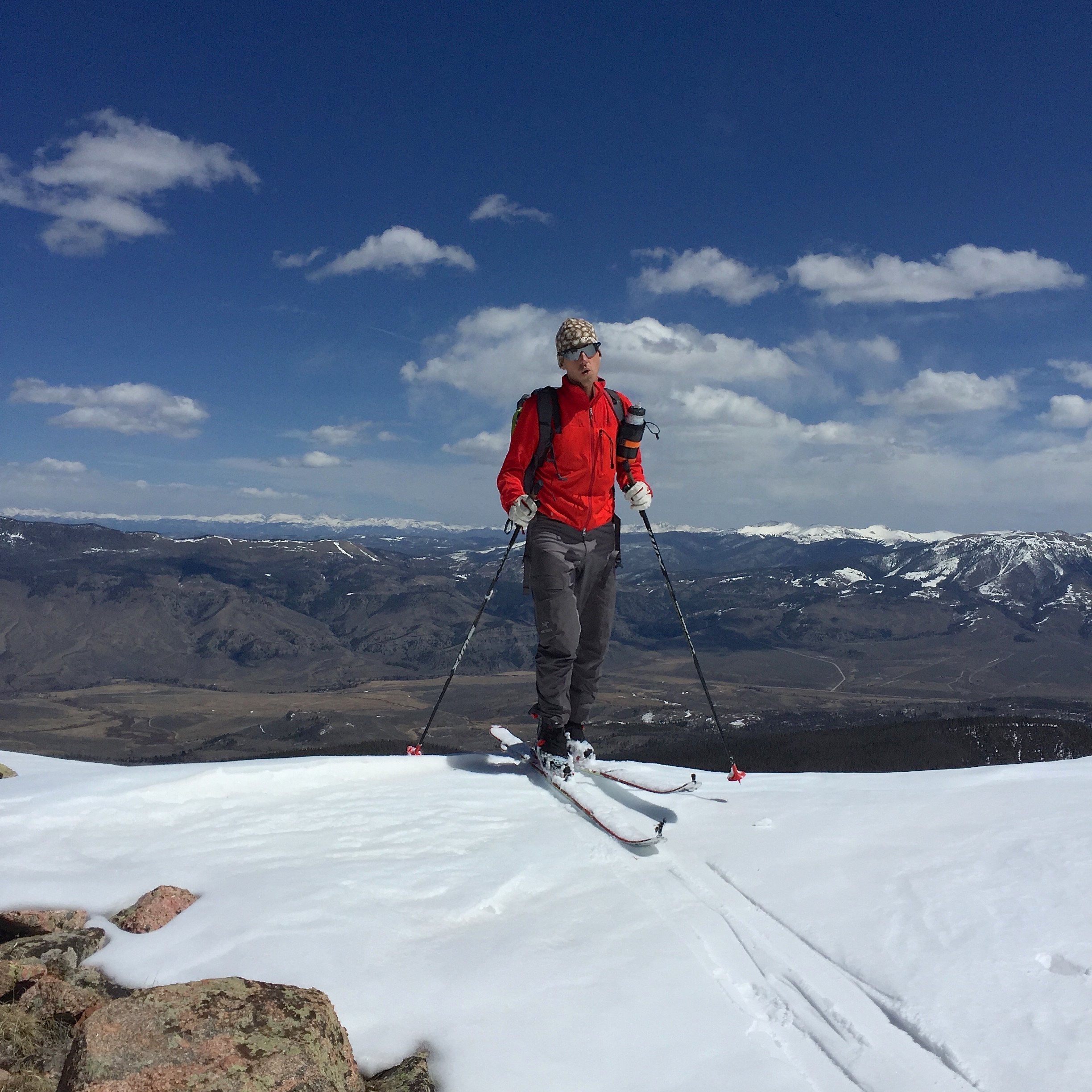
The rugged approach comes together and we are standing on the nearly 13,000′ summit, way out there, somewhere in the Gore Mountain Wilderness. I’m now staring down the barrel of the towering North East face of Bloodshaw. It’s powder from the summit, so we asses its stability, again. We trust each other’s judgement. We’d better be right. I look down 3,600′ to the river bed below. This line feels heavy, it feels different than some others. I pause for a moment to take in this place, the gravity, the moment of a mystery being realized. Does it go?

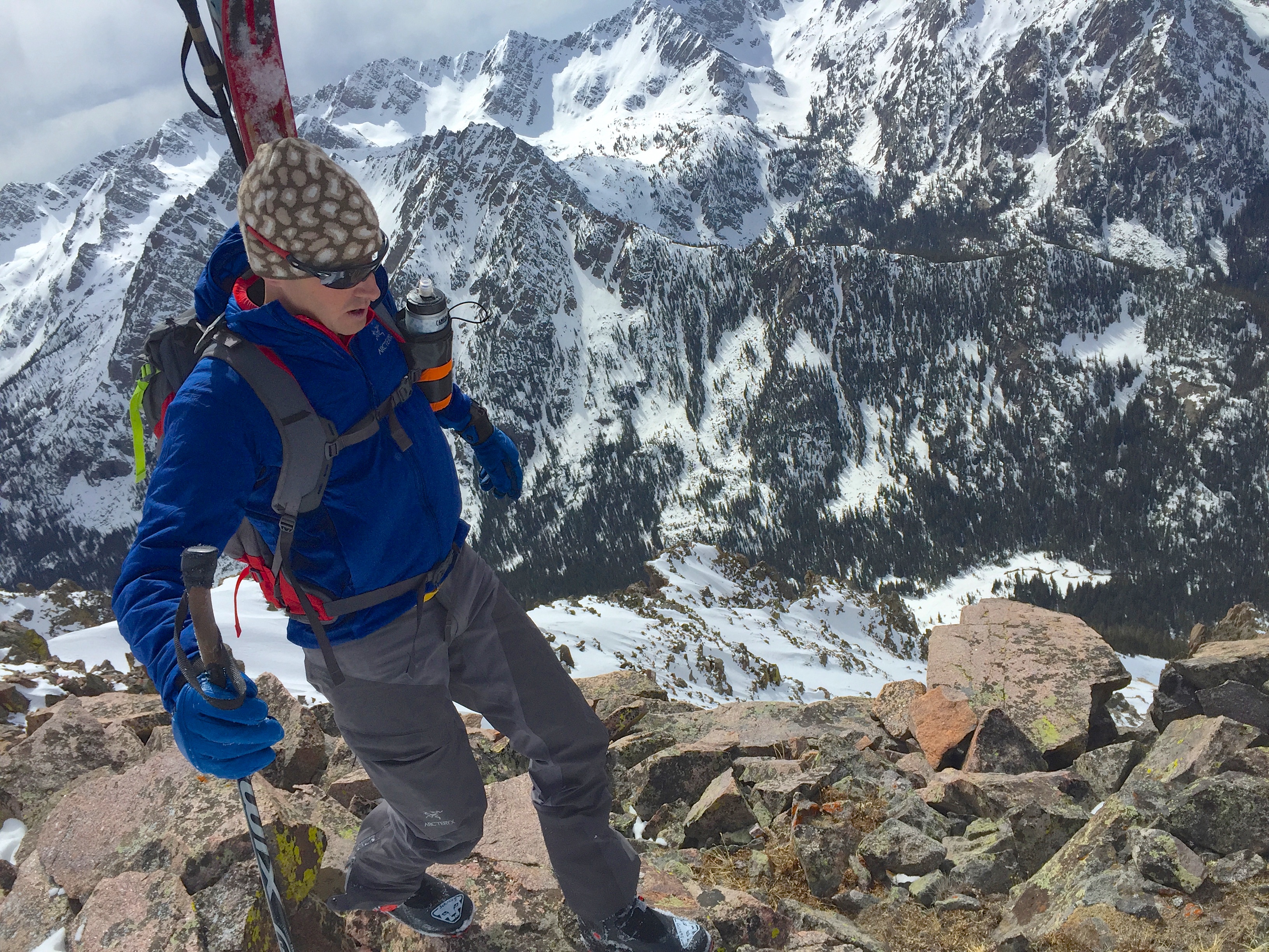
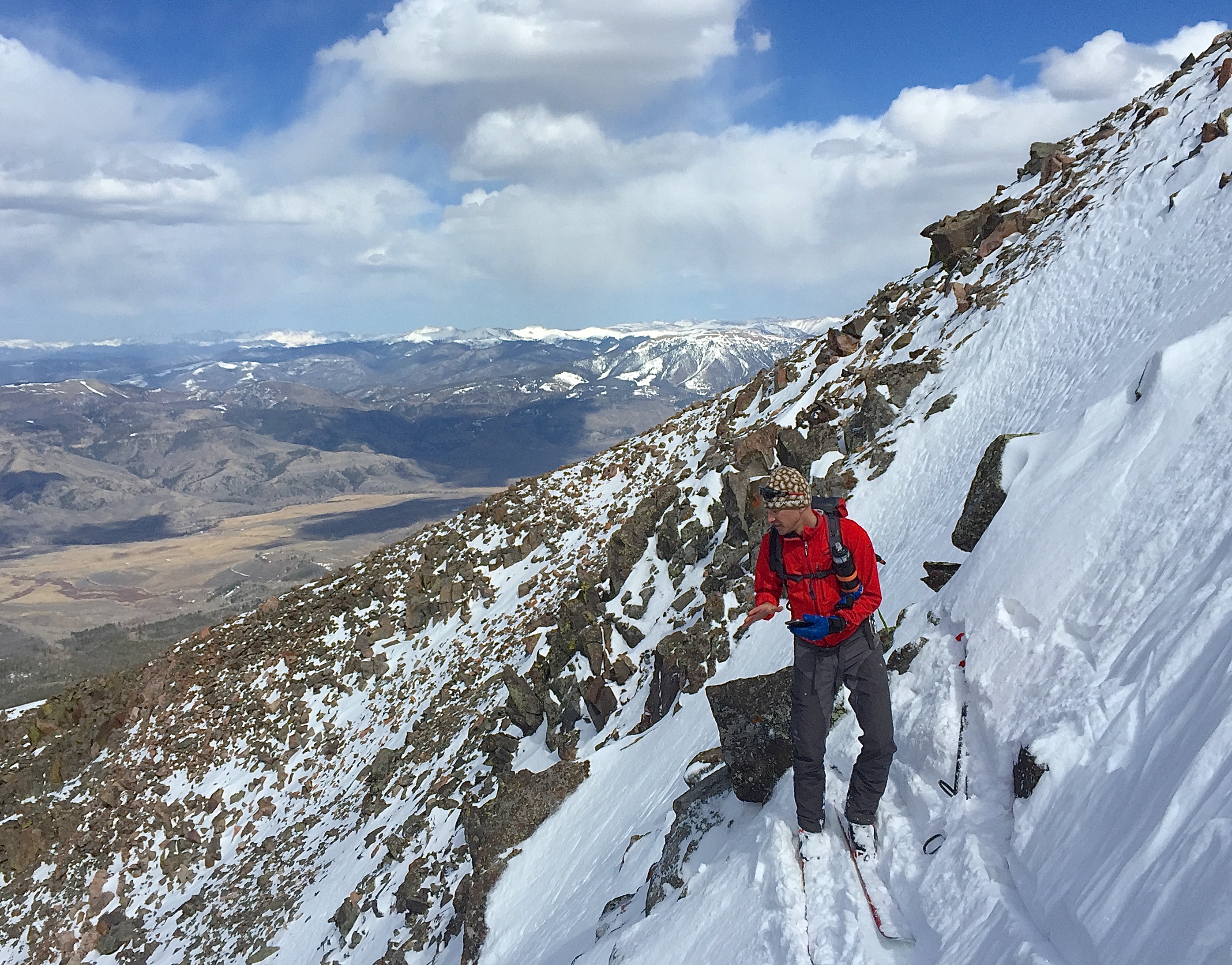
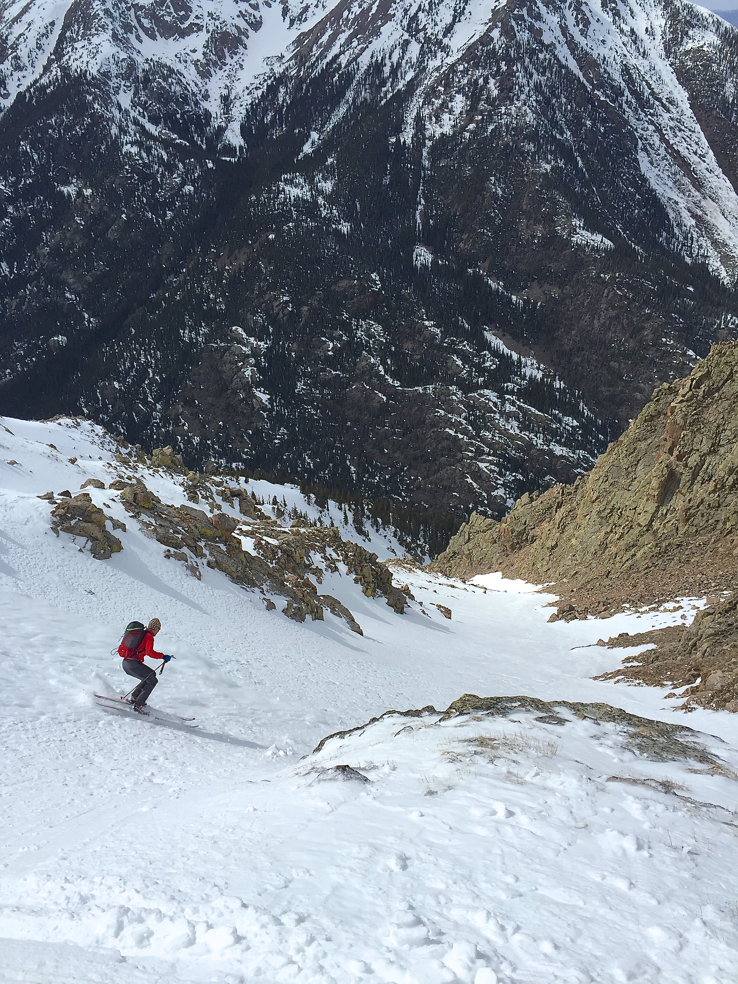
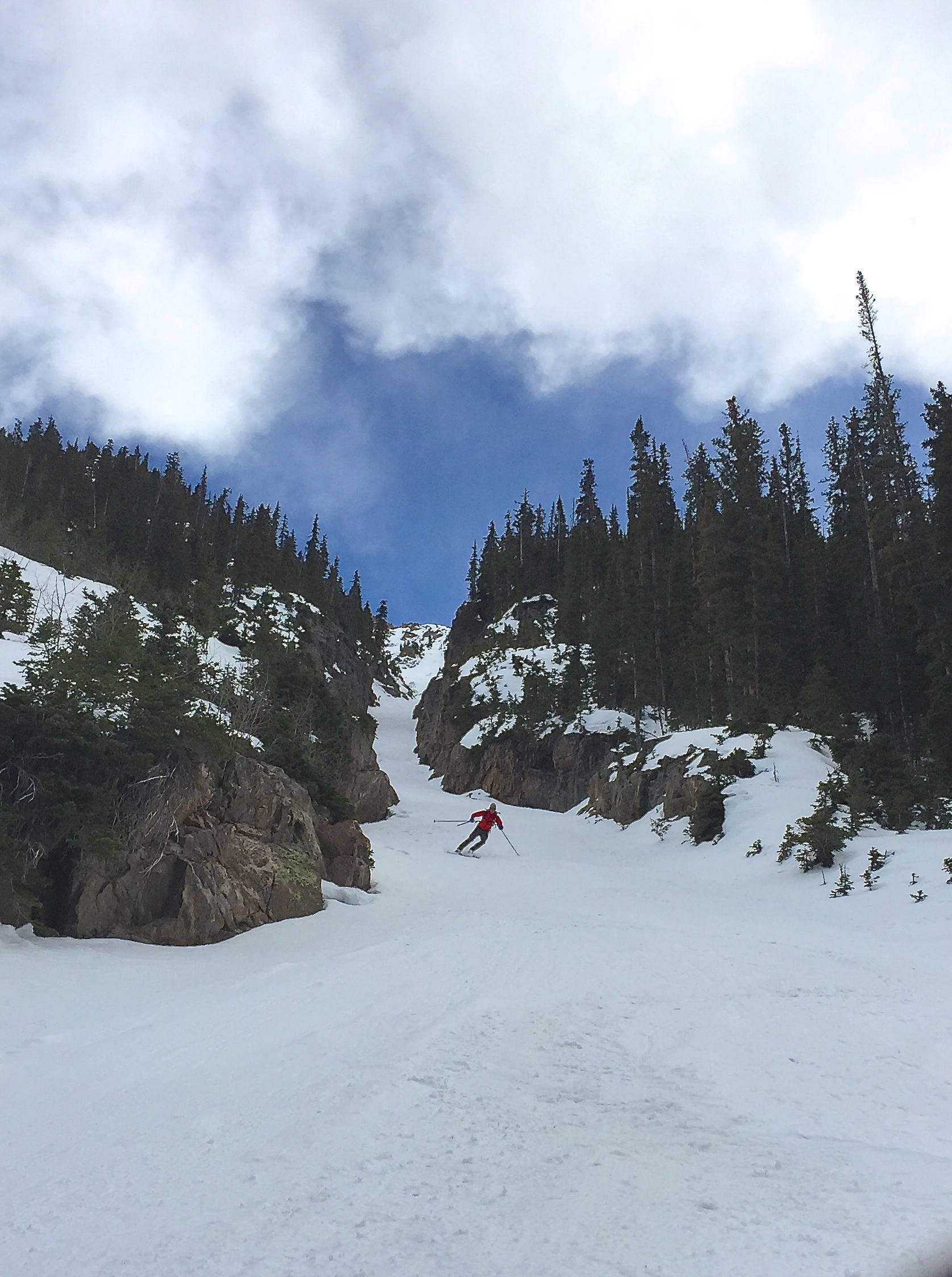
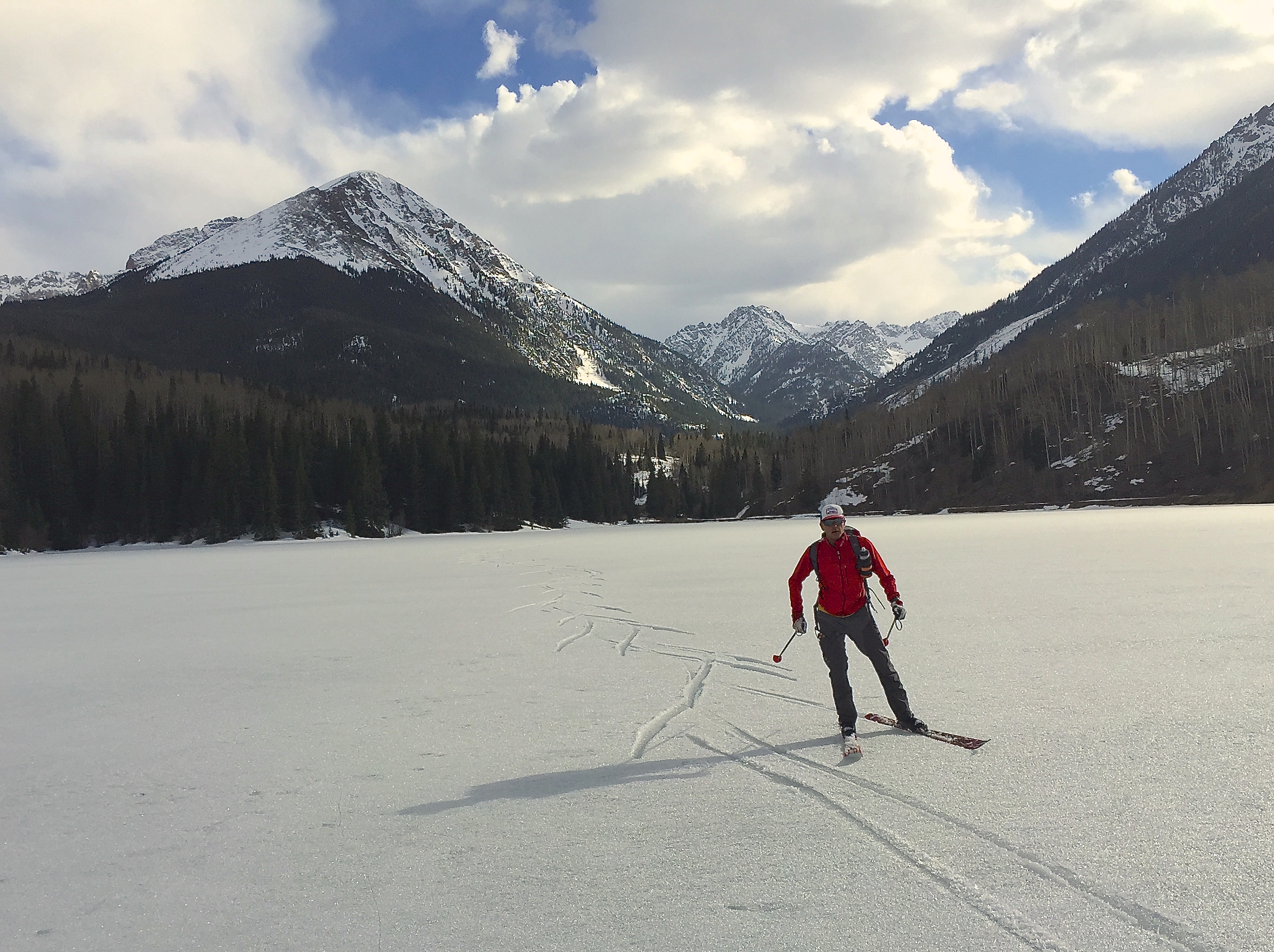
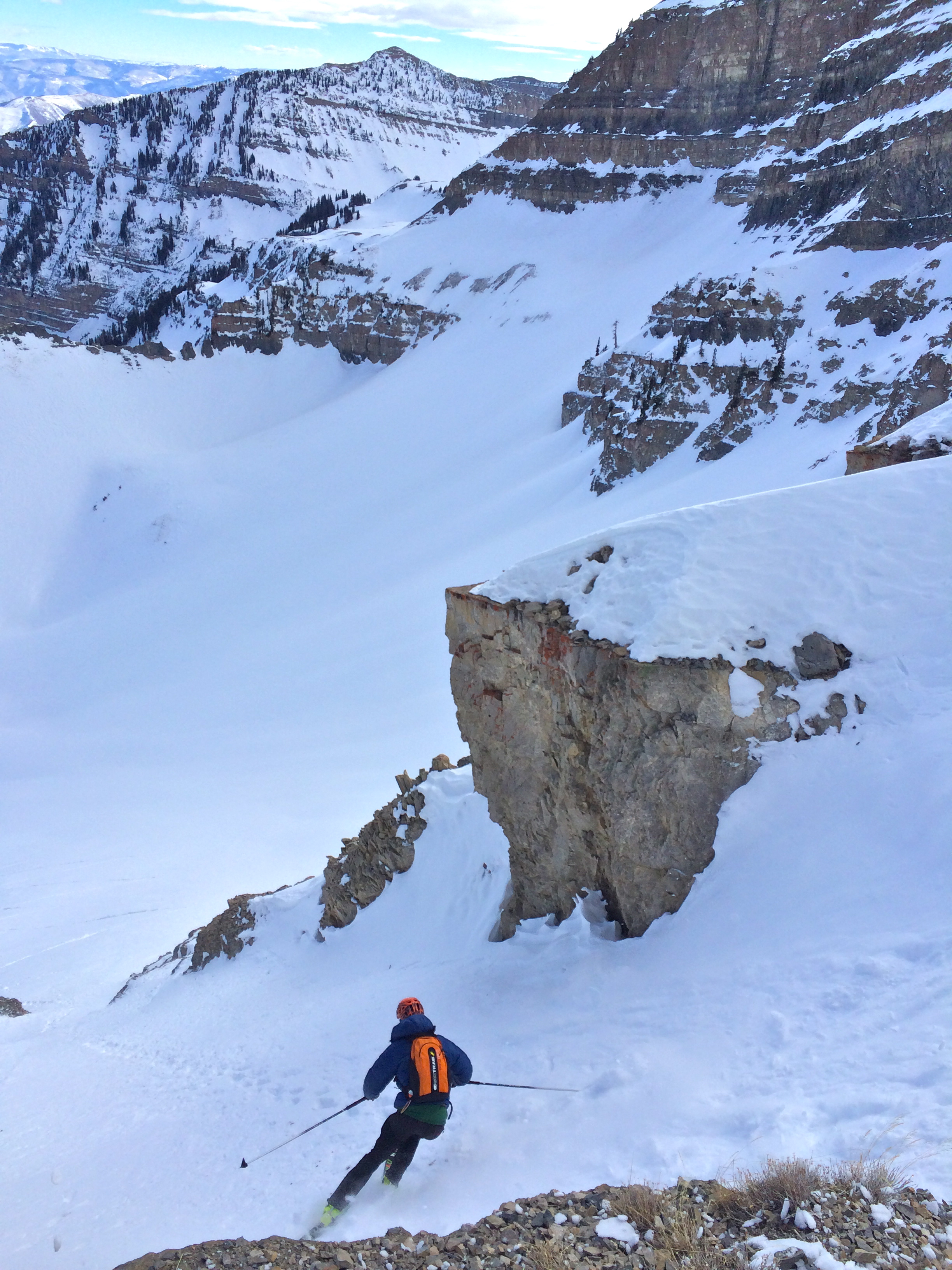
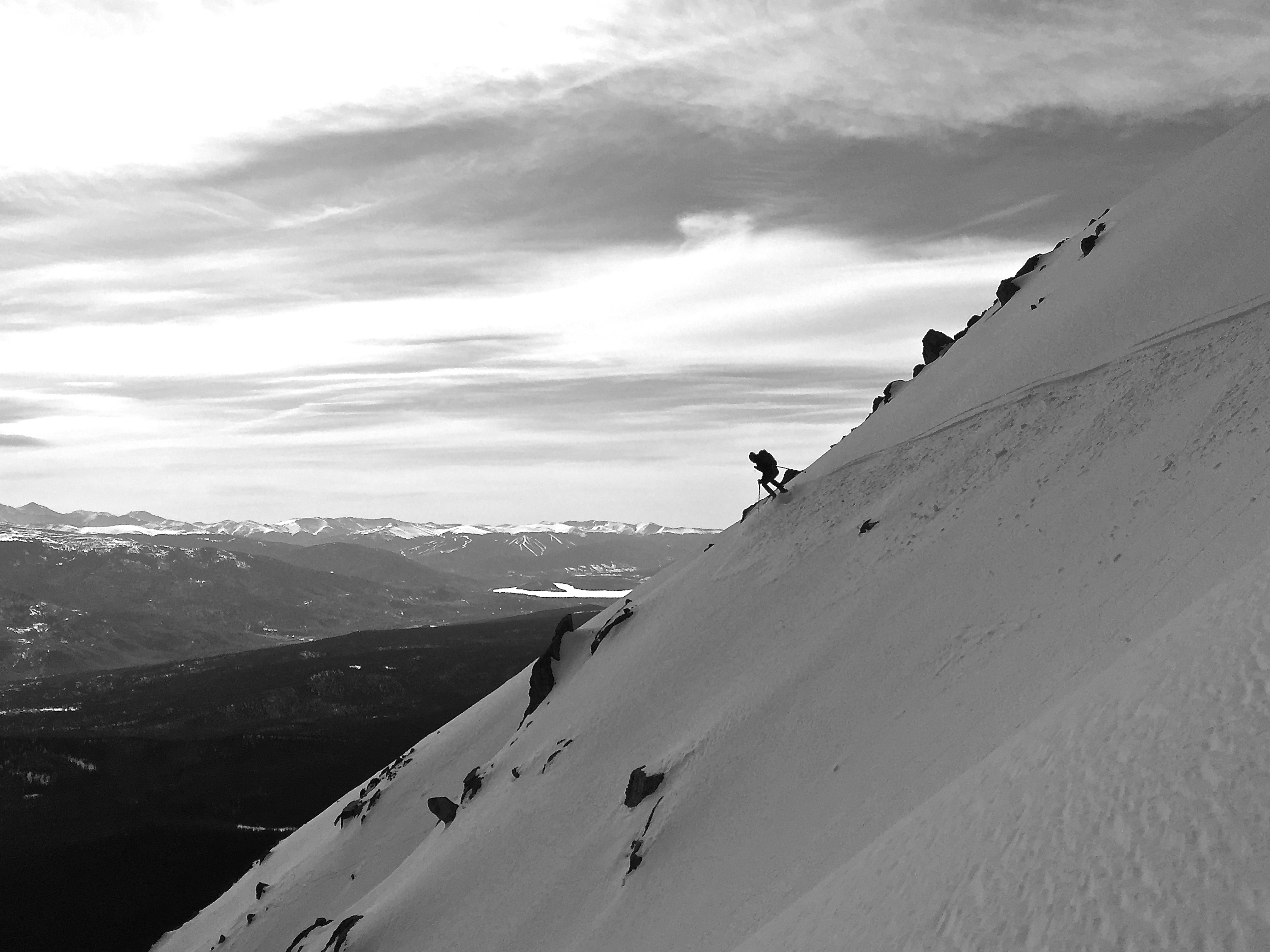
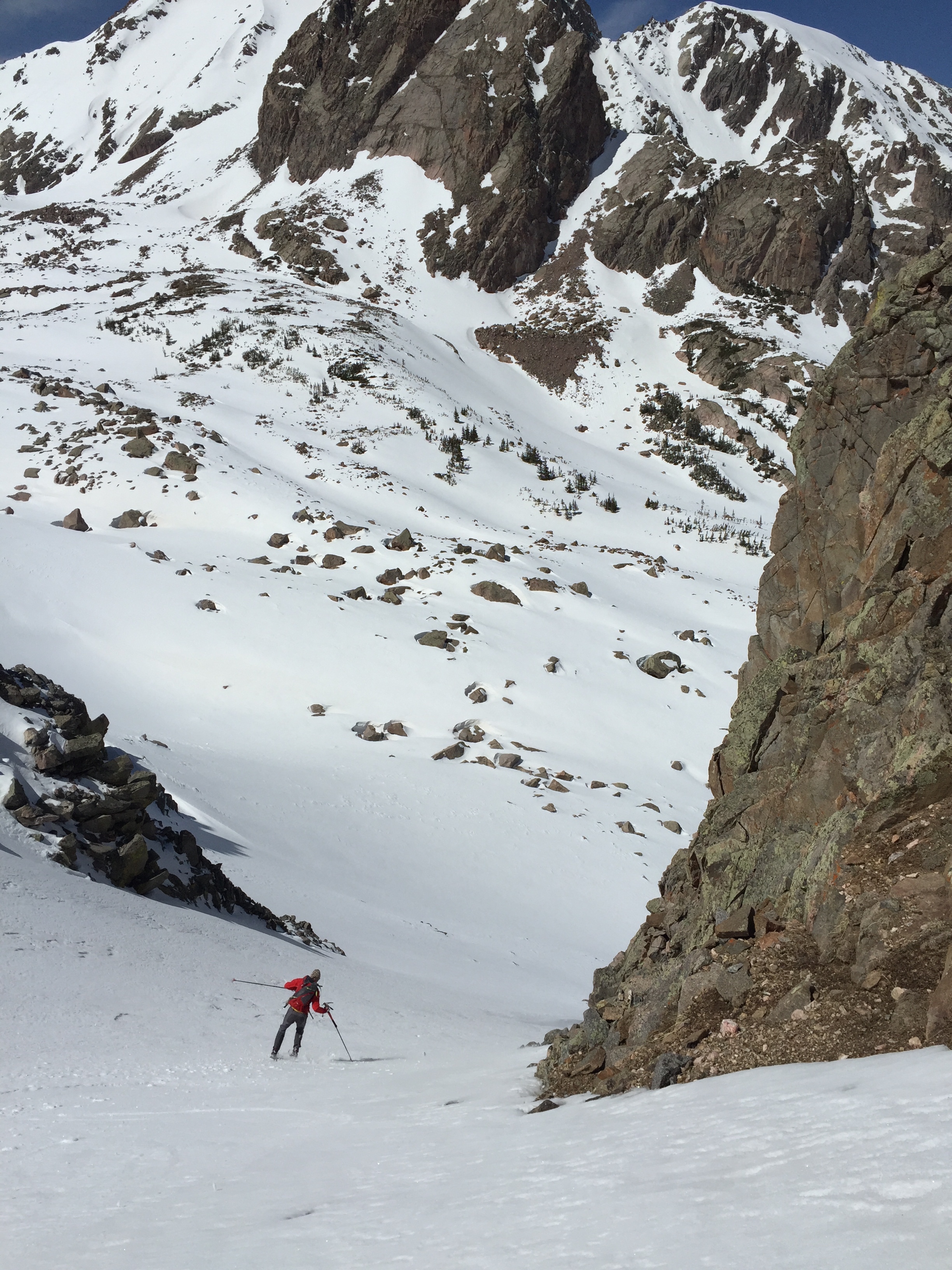
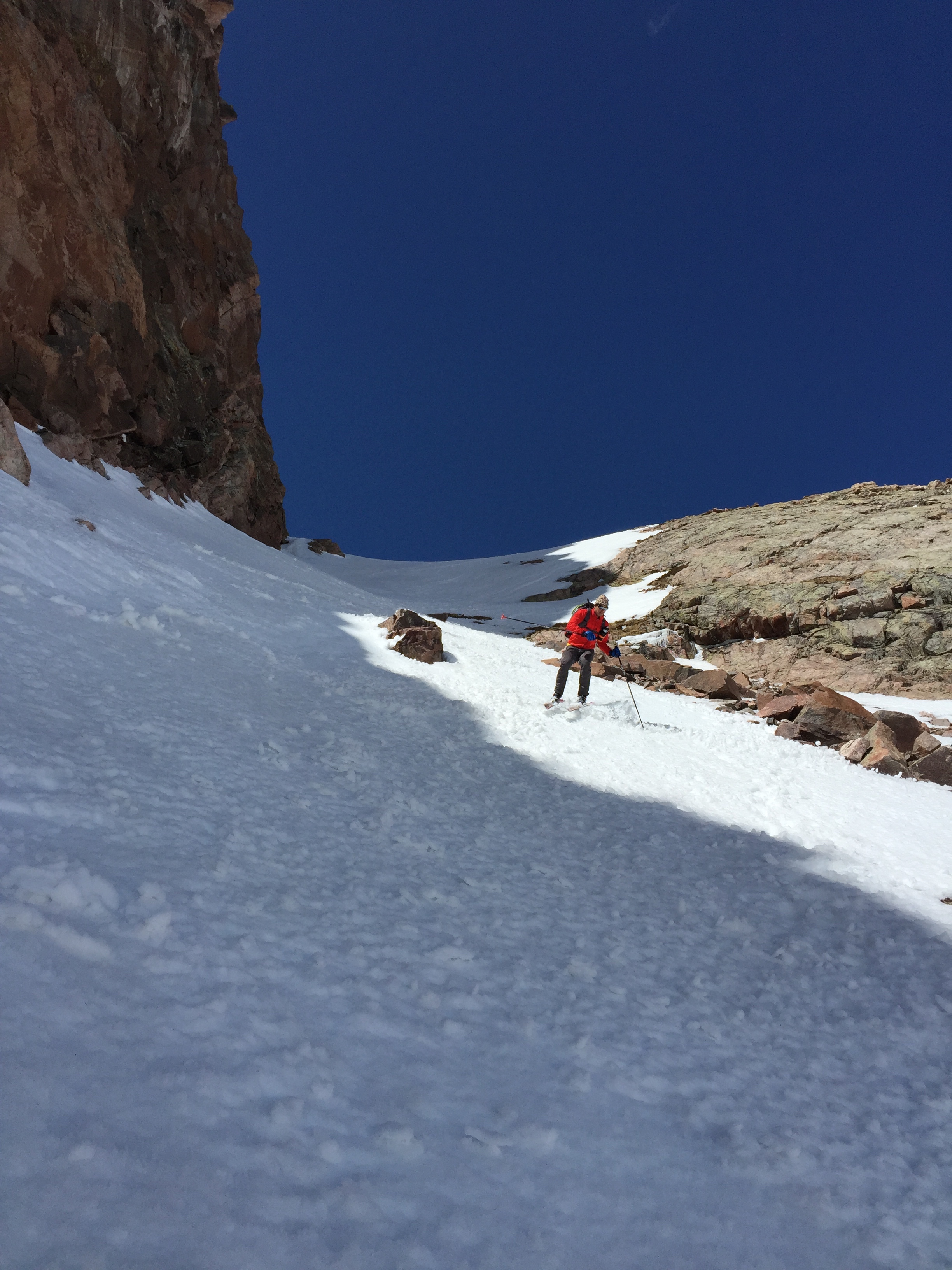
I roll in on cold soft powder, when all I’ve seen lately is corn or a little tired old storm snow. Floaty and smooth, way out there, exposed on this towering face, it was like skiing in suspended disbelief. We found our way through chutes, over ribs, around cliffs and eventually down to the massive run out and last steep pitch to the Slate River. What a ski run. And those conditions! We transition and search for a place to cross. It’s a ways to go to gain Peak O. Plenty of time to wonder of its North West Couloir. What will it ski like? Two more couloirs to get there… Once we gain the ridge can we climb to the summit? It’s a long ways out from west of Black Lake. I really hope it goes. 

Well it all did go.  And it turns out we were able to ski not just one huge line we thought was far away, but two.  And on separate mountains with two possible first descents in-between.  I guess skiing in the Gore Range is not that far. 
With @mikeschilling19 and support from @kates_real_food @gnarlynutrition @factionskis@mtn_outfitters_breck @scarpana #gorerange#noplacetoofar #coloradoskiing #coloradobackcountry#forthefew #exploremore

3 mile aproach
3 mile aproach

IMG_6265IMG_6269IMG_6275IMG_6297 11138566_10152697133395936_1794545614945002659_n

Mike laughs after realizing it would go in 4 hours car to car.  Not bad for "The Gore Range"
Mike laughs after realizing it would go in 4 hours car to car. Not bad for “The Gore Range”

IMG_6370

SE of Peak O May have skied a new line here
SE of Peak O
May have skied a new line here

IMG_6381

Has this been skied?
How about this one? Seems unlikely.
How about this one?
Seems unlikely.
Mike Schilling ascending a long SE couloir on Peak O
Lines for life in the Gore Range
Mike Schilling walks the ridge to Peak O's Summit
Mike Schilling walks the ridge to Peak O’s Summit

IMG_6437IMG_6532

Michael Schilling drops into the 3,200' Northwest Couloir of Peak O Gore Range Colorado
Michael Schilling drops into the 3,200′ Northwest Couloir of Peak O Gore Range Colorado
Ha! and it finishes with a tight walls 600' slot!
Ha! and it finishes with a tight walls 600′ slot!
We gad to break through thin ice until we got onto supportive ice.  This was my least favorite part of the adventure.
We gad to break through thin ice until we got onto supportive ice. This was my least favorite part of the adventure.

IMG_6650IMG_6653

Timpanogos- Wild Wasatch

Timp feels big.

It feels remote.

The summit ridge is 17 miles long and it’s flanks rise six thousand feet from the valley. Lot’s of real estate to ski and explore.

Last January Andy and Jason Dorais and I had been itching to get out there since the snow began falling. We began our ski from the Mutual Dell Trail head and followed the trail up across the Timpanook road. From there we fell into the frequent line rotation we’ve found works so well to move the group while breaking trail. Up Up into the Wooly Hole below the Steep Grunge Couloir. While skiing under it I thought back to my first time skiing on Timp…

January 2012: ‘In Andrew Mclean’s Chuting Gallery he states the Grunge reaches 62 degrees. When I read that I thought no way. I better have a look. Last February I found myself perched on the truly vertical face of the cornice, Black Diamond Cobra ice tool thunked in, tilting my edges up and down trying to find the point at which my edges would grip the, eh hem, ‘very hard snow’ and where my boot would lever the edges free. I messed with this while hopelessly wishing for wider then 73mm skis and staring at the 1000’+ feet of rocky cliffs directly below. Luckily I had chopped a small inset into the cornice to get started from. Today wasn’t the day to ski it from the rim. Skis off, haul myself back up with my tools, Crampons on, back over into the void and climb the 30′ to more edge-able snow and marginally less exposed stance. Yep. It’s in that 60 degree range alright. Not skiing it from the rim ‘on site’ bugs me a bit. Have to go back when the snow is chalky.’

And I’m back.  We then continued up a chute into the Pica Cirque and from there wandered up another couloir to the North summit ridge.

IMG_4582

The stark reality of two weeks of January high pressure hit us as we stepped on to the west side. It held almost no snow.

IMG_4574

One helluva mail route says Andy Dorais


IMG_4575

Jason Dorais and I headed back to drop into Pica Cirque

Thankfully the east side had plenty of snow. So after checking the mail on the North summit box we trail ran down the rocks and clicked in for a great couloir in good cold snow.

IMG_4576

From here Jason had to bail for work. We spotted him through his exit couloir and turned em up hill. After rippin’ surrffy facets under The Giants Staircase summer trail, we were feeling pretty psyched. So many folks were whining about ‘no snow’ and ‘another shitty season’ we were linking up cirques and couloirs on the biggest mountain around and loving every minute of it.

Andy and I ascended a well defined couloir up to the Timpanook Basin below the North West side of Roberts Horn. Andy thought the only reason that couloir was well defined is the result of such low snow for the time of season. Bonus couloir! After walking up the Horn we sat on the summit and enjoyed the ominous swirling lenticulars over the Central Wasatch. Our altimeters jumped 100′ while sitting still on the summit. Never a dull moment in the Mountains.

IMG_4581

Looking back to our line on the North Summit and the rad cloud show

As the wind picked up we called 9k a good half day and smeared the velvet recycled wind buff out to the road and back to the car.

You know, It’s days like this that I remember. The snow wasn’t deep, nor the sky sunny. In fact the snowpack was relatively ‘fair to shit’. There was an over all malaise in the Utah ski community. But when one is blessed to live in the mountains with motivated friends who are perpetually psyched to get after it, well, then count your blessings. Despite the ‘poor’ snow pack we went out to have a look in a wild place. We found all snow conditions including very good surfy facets and recycled velvet. And we had a damn good time on that Wild Wasatch mountain.

Teague